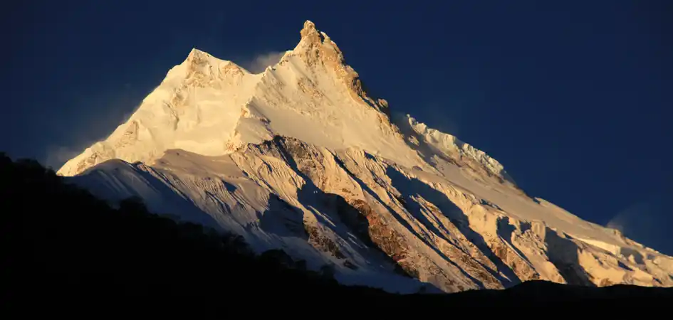
Mount Manaslu Expedition offers a challenging ascent of the world's eighth-highest mountain in the Mansiri Himal section of the Himalayas. In 1956, Toshio Imanishi and Gyaltsen Norbu Sherpa completed this approximately 50-day climb, which required the establishment of four camps and involved navigating avalanche dangers and steep ridges. The name "Manaslu" translates to "intellect" or "soul" in Sanskrit, adding a profound dimension to the expedition. This journey provides an exhilarating odyssey for mountaineers, promising a life-changing adventure amidst the breathtaking Nepalese Himalayas.
Climbers face technical challenges, including steep terrain and unpredictable weather, demanding high skills, endurance, and mental resilience. The ultimate reward is a stunning panorama of the surrounding peaks and the satisfaction of conquering one of the world's most formidable summits. Beyond the physical challenges, the expedition seamlessly blends cultural richness with the raw beauty of the Himalayan landscape, ensuring an unforgettable experience for those seeking the pinnacle of mountaineering challenges.
The Mount Manaslu Expedition is an exhilarating and demanding endeavor encompassing the ascent of the eighth-highest peak globally, Mount Manaslu. Located in the Nepalese Himalayas, this majestic mountain reaches an elevation of 8,163 meters (26,781 feet), providing a challenging yet gratifying experience for mountaineers. Essential components of a Manaslu expedition typically include:
Base Camp: The expedition usually begins with the establishment of a base camp, providing a strategic starting point for acclimatization and logistical preparations.
Climbing Routes: Climbers can choose from various routes, with the Northeast Face being the standard and most frequently used path. Other routes, such as the Northwest Face, South Face, and East Face, offer different levels of difficulty, requiring diverse skill sets from the mountaineers.
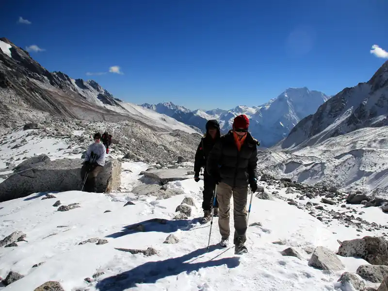
Challenges: Climbing Mount Manaslu presents a range of challenges, including navigating crevasses, icefalls, and steep slopes. Unpredictable weather conditions and high-altitude factors further intensify the difficulty, demanding physical and mental resilience from expedition members.
Technical Skills: Mount Manaslu's diverse terrain requires climbers to possess advanced mountaineering skills, including ice and rock climbing techniques. The expedition often attracts experienced climbers seeking to test their abilities in a high-altitude environment.
Acclimatization: Proper acclimatization is a crucial aspect of any Manaslu expedition. Climbers typically establish higher camps to adapt their bodies to the reduced oxygen levels at high altitudes, minimizing the risk of altitude-related illnesses.
Permits and Regulations: Like many peaks in the region, Mount Manaslu requires climbers to obtain permits. Expedition teams must adhere to local regulations and guidelines to ensure a safe and environmentally conscious ascent.
Team Dynamics: Successful Manaslu Expeditions rely heavily on effective teamwork. Climbers form a close-knit team, supporting each other through the challenges and sharing responsibilities to ensure a safe and coordinated ascent.
Summit Attempt: The ultimate goal of a Manaslu Expedition is reaching the summit. As they stand atop the peak and take in the breathtaking panoramic views of the Himalayan landscape, climbers feel a profound sense of accomplishment.
Throughout the expedition, climbers forge indelible memories, surmount personal and collective challenges, and develop a profound appreciation for the mountain environment's raw beauty and formidable power. A Mount Manaslu expedition transcends being solely a physical feat; it is a transformative journey that imparts a lasting impact on those who undertake this adventure.
Northeast Face (Standard Route):
Northwest Face:
South Face:
East Face:
Climbers and expedition teams must carefully assess the conditions, risks, and technical requirements associated with each route before attempting an ascent on Mount Manaslu. Additionally, obtaining permits and adhering to local regulations are crucial aspects of planning a successful expedition to this majestic peak in the Nepalese Himalayas.
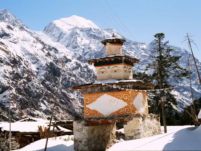
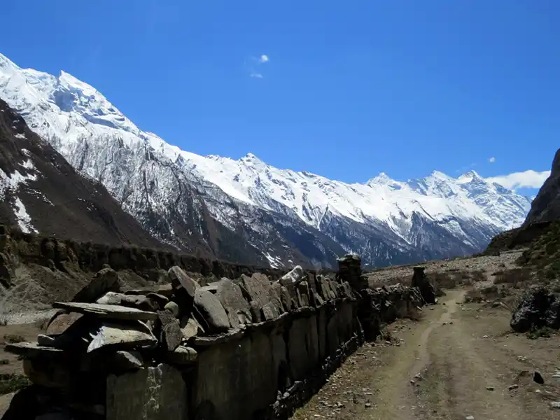
The Manaslu Circuit Trek in Nepal is an amazing trek around Mount Manaslu, the country's eighth-highest peak, that offers breathtaking views, cultural ...
The Tsum Valley Trek, which is located in the Manaslu region of Nepal, provides a one-of-a-kind trek through verdant forests and picturesque countryside, ...
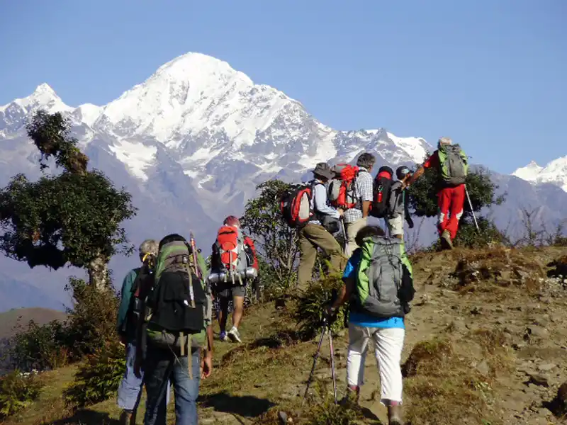
The Lower Manaslu Trek offers breathtaking scenery and a unique cultural experience as it winds through the Himalayas. There are opportunities to interact ...
The Manaslu High Passes Trek is an exciting journey through the rugged terrain of the Manaslu region. Discover difficult mountain passes like Larkya La ...